MARPO_EDIT
We use the MARPO_EDIT programme to create a digital terrain model, which serves as the basis for the map for efficient mining with our mining control system. First, a trough model is generated, which is based on approved excavation limits, before the data from the current measurement is inserted. In this way, we are able to visualise the actual state of your deposit in detail.
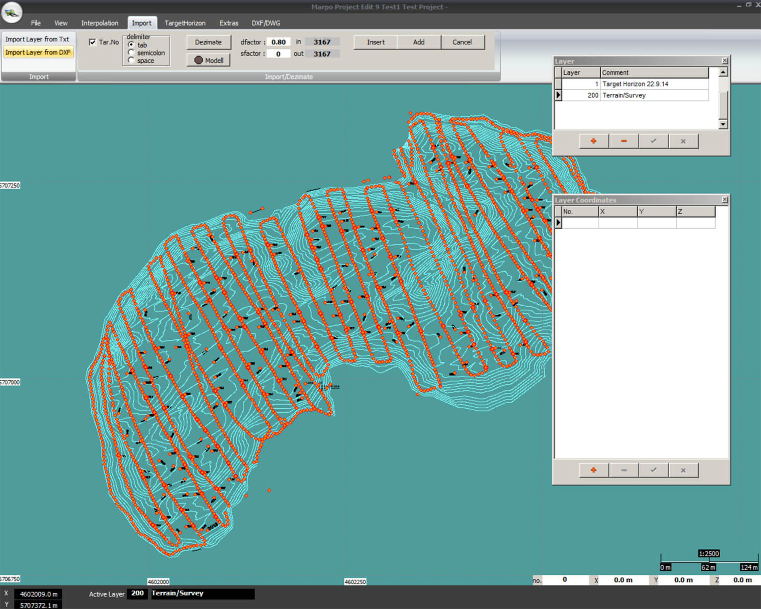
Figure: The result, ready for triangulation, after reduction and processing of the data cloud.
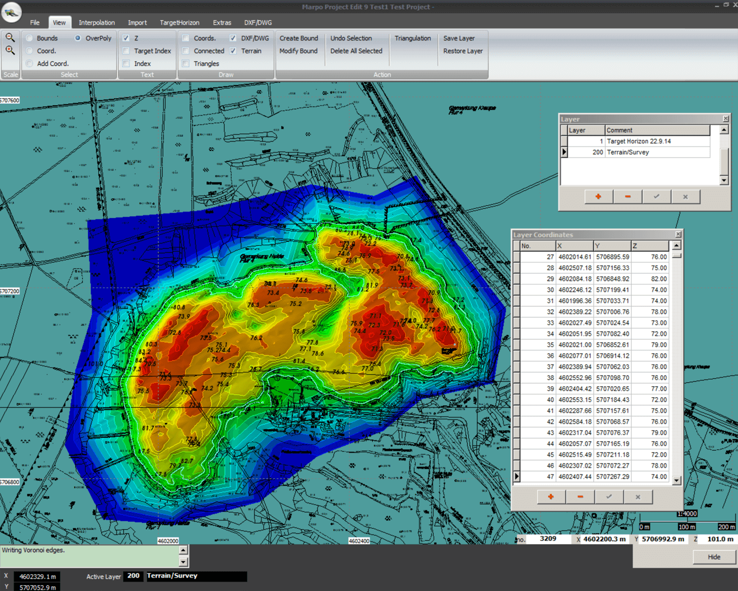
Figure: The result of the procedure: the finished digital terrain model.
SPE GmbH & Co. KG
Ritscherstraße 5
D – 21244 Buchholz
Phone: +49(0)40 390 63 55
E-mail: info(at)spe-electronics.de
Legal notice | Privacy protection